 Maps of Quang Tri Province by jim good
Jul 5, '01 12:00 AM
Photos #: 6
http://msn-jim
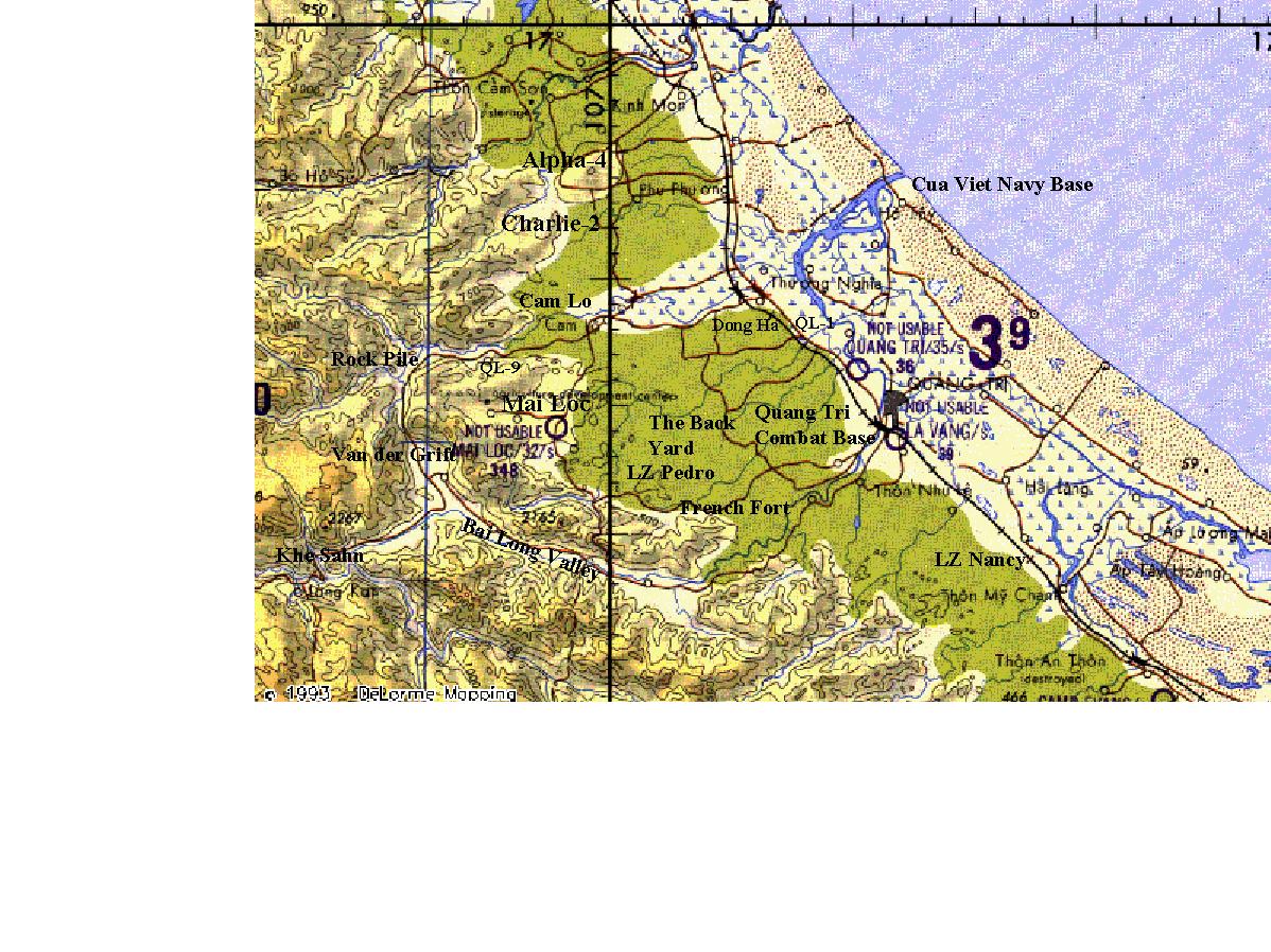
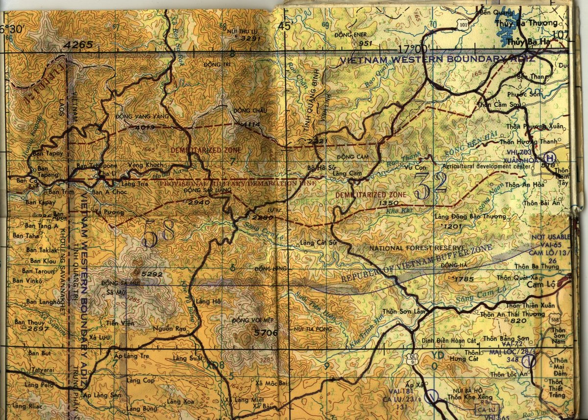
Tags: Copies of maps of the Area of Operations (AO) that A 4/12 Cav operated in during the late 1960s and early 1970s. If anyone has additional maps, feel free to post them here. "1 — The Cav's AO, with some firebases & other locations marked..jpg","None given"
"2 — Northeast I Corps, RVN.jpg","None given"
"3 — Northwest I Corps.jpg","None given"
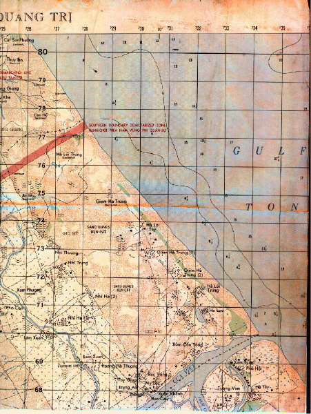
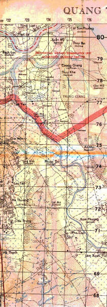
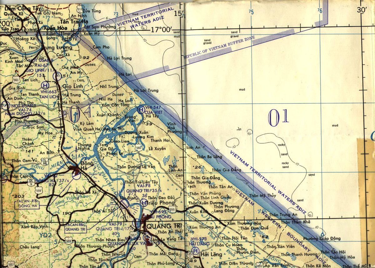
"4 — Northeast Quang Tri Province.jpg","Quang Tri, Cua Viet, Dong Ha, Cam Lo."
"5 — Northwest Quang Tri Province.jpg","Cam Lo, Mai Loc, area west of Charlie 2"
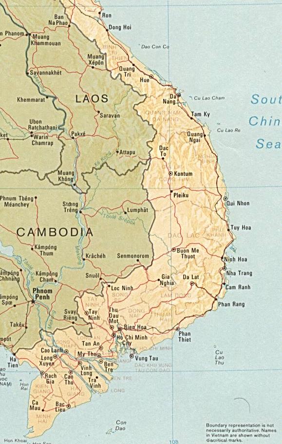
"6 — South Viet Nam..jpg","None given"